 By Eliza Popova
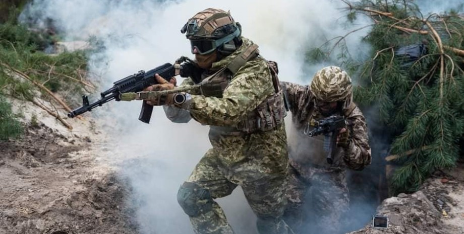
Analysts noted that some units of the Armed Forces have passed from 1 to 2. 6 kilometers in the area of the villages of Klicchivka and Andreevka, which are located in the southern part of the Bakhmut direction. The total area of the liberated area is 7. 51 square meters. kilometers. Also, some successes, as they continued in Deepstate, Ukrainian defenders have in the Zaporozhye direction.
In the area of the Zaporozhye-Mariupol highway, near the village of Novodanylivka, the fighters advanced a little forward. Now they are 8 kilometers south of the city of Oriv. As of the morning of June 14, it was reported that the enemy began his own offensive actions in Donetsk region, which were extremely unsuccessful. In the Zaporozhye direction, the enemy continues defensive actions, which also have no special success and are moving forward.
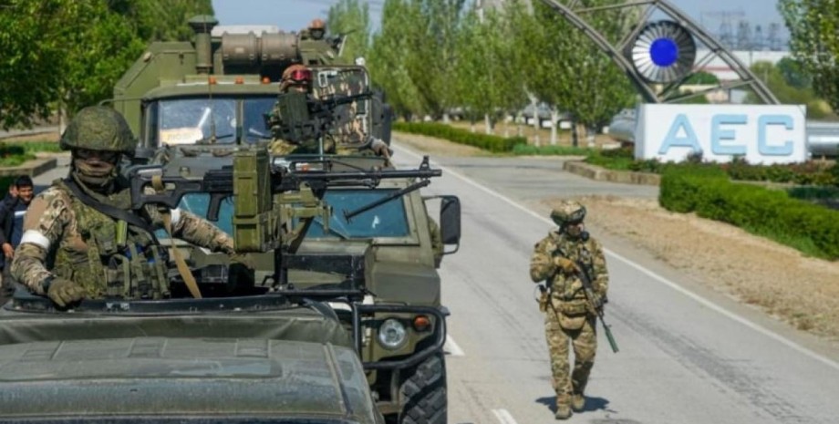
"In the Zaporozhye region, Russian invaders continue to rob the local population, using military cargo transportation for the export of looted property. Yes, from the village of Ocheretuvat, in the direction of Tokmak the movement of Russian automobile columns with looted household appliances, furniture and other property. In the notity. We will remind that Anna Malyar reported on June 12 that the Armed Forces released 7 settlements and advanced 6. 5 km.











Všetky práva vyhradené IN-Ukraine.info - 2022