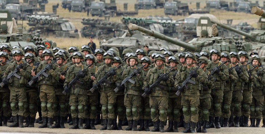
Among the objects identified by journalists are Russian military airfields, points and places of shipping, ships and boats, warehouses with weapons and fuel, military towns, military units, barracks, staffs and management points, military equipment, air defense, polygon and polygon Even MIC objects. The authors of the publication noted that the interactive map with the placement of all mentioned locations will be published on the sites "Crimea.
Realia" and "Radio Liberty" on Wednesday, May 10 at 9:00. The author of the project Igor Tokar noted that the population should be informed of the level of militarization of the peninsula. The map will be available in Russian and Ukrainian. "We want to warn Crimeans about the danger associated with these places. After all, many people live next to military objects of the Russian Federation.
And given the large -scale military actions conducted by Russia against Ukraine, these places are especially dangerous for others," the turner said . According to the journalist of the Project "Scheme" Cyril Ovsyaniy, the map was formed on the basis of satellite images of Planet Labs for 2023. In the photo you can consider in detail Russian military facilities in Crimea.
We will remind that on May 8 the adviser to the head of the Presidential Office Mikhail Podolyak stated that after Ukraine is freeing the Crimean peninsula from the Russian occupation, he will probably lose the status of the Autonomous Republic. We also reported that on May 8, a representative of the Main Directorate of Intelligence of the Ministry of Defense of Ukraine Andriy Yusov told about the preparation of Russian invaders in the Crimea for the Armed Forces.











Všetky práva vyhradené IN-Ukraine.info - 2022