 By Natali Moss
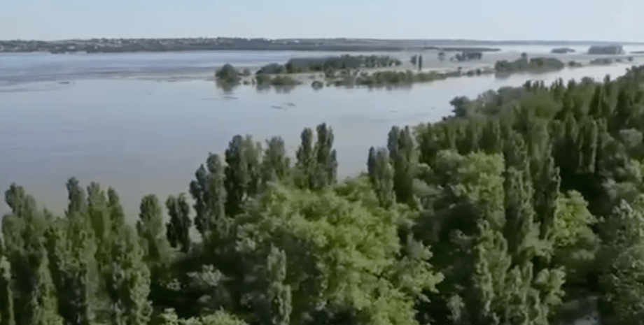
The network posted a map on which they put a layer with a probable level of flooding and where the positions of the Russian invaders are located. According to the map, a number of settlements on the left bank of the Dnieper in the Kherson region is under the threat of flooding: Gola Pier, Kardashinka, Oleshki, Cossack Lageri and others. Together, they form a line of defense of the Armed Forces of the Russian Federation, which extends along the Dnieper.
If you look at the topographic map, you can see that the villages on the left bank are in the lowlands, so the threat of flooding is higher there than in Kherson. At the same time, the commander of the united forces of Segriy Naev stated that undermining the Kakhovskaya hydroelectric power station did not fall on actions of the Armed Forces, because the military also calculated this scenario. We will remind, on the night of April 6 Russian invaders blew Kakhovsk hydroelectric power station.











Všetky práva vyhradené IN-Ukraine.info - 2022